
Neighbourhoods
Explore Ghana, block by block.
Honest neighbourhood guides — safety, transit, schools, prices, flood risk. Start with the region that matters to you.
Showing 262–270 of 572
Page 30 of 64
Akosombo
Akosombo, Eastern
0 active listings
Akosombo is a residential town in Eastern. Habivista GIS layers use seed-time OpenStreetMap and supporting public datasets for nearby facilities, transport stops, green space, and indicative flood exposure.
Open guide →
Akwamu Abuakwa
Akwamu Abuakwa, Eastern
0 active listings
Akwamu Abuakwa is a residential town in Eastern. Habivista GIS layers use seed-time OpenStreetMap and supporting public datasets for nearby facilities, transport stops, green space, and indicative flood exposure.
Open guide →
Asesewa
Asesewa, Eastern
0 active listings
Asesewa is a residential town in Eastern. Habivista GIS layers use seed-time OpenStreetMap and supporting public datasets for nearby facilities, transport stops, green space, and indicative flood exposure.
Open guide →
Donkorkrom
Donkorkrom, Eastern
0 active listings
Donkorkrom is a residential town in Eastern. Habivista GIS layers use seed-time OpenStreetMap and supporting public datasets for nearby facilities, transport stops, green space, and indicative flood exposure.
Open guide →
Klo-Agogo
Klo-Agogo, Eastern
0 active listings
Klo-Agogo is a residential town in Eastern. Habivista GIS layers use seed-time OpenStreetMap and supporting public datasets for nearby facilities, transport stops, green space, and indicative flood exposure.
Open guide →
Koforidua
Koforidua, Eastern
1 active listing
Regional capital in the Akuapem hills. Nicknamed the 'Flowerpot City' for its landscaped roundabouts.
Open guide →
Kpong
Kpong, Eastern
0 active listings
Kpong is a residential town in Eastern. Habivista GIS layers use seed-time OpenStreetMap and supporting public datasets for nearby facilities, transport stops, green space, and indicative flood exposure.
Open guide →
Krobo
Krobo, Eastern
0 active listings
Krobo is a residential town in Eastern. Habivista GIS layers use seed-time OpenStreetMap and supporting public datasets for nearby facilities, transport stops, green space, and indicative flood exposure.
Open guide →
Mampon
Mampon, Eastern
0 active listings
Mampon is a residential town in Eastern. Habivista GIS layers use seed-time OpenStreetMap and supporting public datasets for nearby facilities, transport stops, green space, and indicative flood exposure.
Open guide →
Beyond home
Places worth visiting
From Cape Coast Castle to Mole National Park — the places diaspora visitors and new arrivals want to see.
115 sites · page 30 of 39
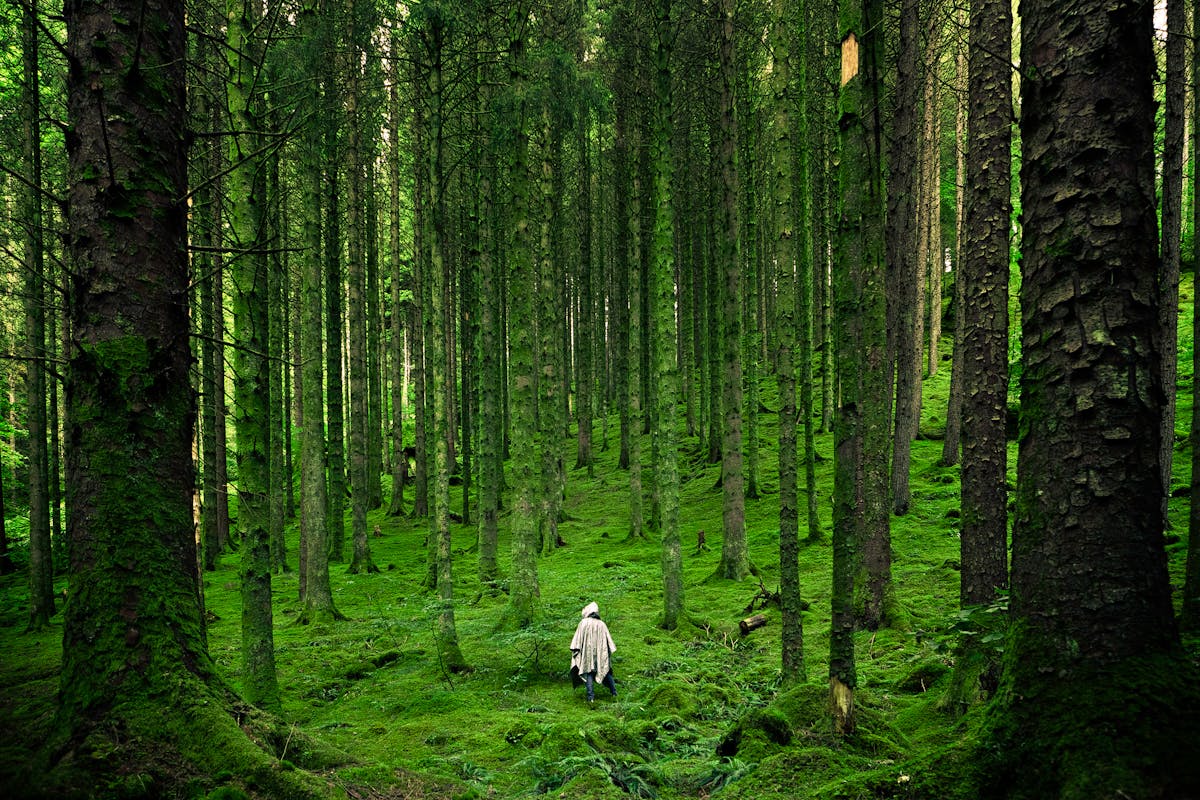
- Nature / Rainforest
Kakum Canopy Walk
Twifo-Hemang-Lower Denkyira, Central
Rainforest national park north of Cape Coast known for its canopy walkway, birdlife, forest trails, and biodiversity.
Learn more →
- Nature / Recreation
Legon Botanical Gardens
Accra Metropolitan, Greater Accra
University of Ghana outdoor recreation site with trails, canopy-style activities, family-friendly play areas, and nature space.
Learn more →
- Nature / Sacred grove
Tanoboase Sacred Grove and Rock Formations
Techiman, Bono East
Rocky sacred-grove landscape near Techiman and Tanoboase, valued for dramatic sandstone formations and cultural history.
Learn more →

Ready to search?
Find a home in the neighbourhoods you like.
Filter by price, beds, advance months, and amenities — save the search to get alerts when new places go live.
Not finding your area?
Help us cover more of Ghana.
We start guides where there's real demand. Tell us which neighbourhood you want covered next and we'll add it to the queue.