
Neighbourhoods
Explore Ghana, block by block.
Honest neighbourhood guides — safety, transit, schools, prices, flood risk. Start with the region that matters to you.
Showing 172–180 of 572
Page 20 of 64
Ntotroso
Ntotroso, Bono
0 active listings
Ntotroso is a residential town in Bono. Habivista GIS layers use seed-time OpenStreetMap and supporting public datasets for nearby facilities, transport stops, green space, and indicative flood exposure.
Open guide →
Nyamebekyere
Nyamebekyere, Bono
0 active listings
Nyamebekyere is a residential town in Bono. Habivista GIS layers use seed-time OpenStreetMap and supporting public datasets for nearby facilities, transport stops, green space, and indicative flood exposure.
Open guide →
Odumase
Odumase, Bono
0 active listings
Odumase is a residential town in Bono. Habivista GIS layers use seed-time OpenStreetMap and supporting public datasets for nearby facilities, transport stops, green space, and indicative flood exposure.
Open guide →
Pokukrom
Pokukrom, Bono
0 active listings
Pokukrom is a residential town in Bono. Habivista GIS layers use seed-time OpenStreetMap and supporting public datasets for nearby facilities, transport stops, green space, and indicative flood exposure.
Open guide →
Prang
Prang, Bono
0 active listings
Prang is a residential town in Bono. Habivista GIS layers use seed-time OpenStreetMap and supporting public datasets for nearby facilities, transport stops, green space, and indicative flood exposure.
Open guide →
Sampa
Sampa, Bono
0 active listings
Sampa is a residential town in Bono. Habivista GIS layers use seed-time OpenStreetMap and supporting public datasets for nearby facilities, transport stops, green space, and indicative flood exposure.
Open guide →
Seikwa
Seikwa, Bono
0 active listings
Seikwa is a residential town in Bono. Habivista GIS layers use seed-time OpenStreetMap and supporting public datasets for nearby facilities, transport stops, green space, and indicative flood exposure.
Open guide →
Suma-Ahenkro
Suma-Ahenkro, Bono
0 active listings
Suma-Ahenkro is a residential town in Bono. Habivista GIS layers use seed-time OpenStreetMap and supporting public datasets for nearby facilities, transport stops, green space, and indicative flood exposure.
Open guide →
Sunyani
Sunyani, Bono
1 active listing
Cocoa-belt regional capital. Clean, planned layout and a thriving agro-processing economy.
Open guide →
Beyond home
Places worth visiting
From Cape Coast Castle to Mole National Park — the places diaspora visitors and new arrivals want to see.
115 sites · page 38 of 39
- Wildlife / Game reserve
Gbele Game Reserve
Sissala East, Upper West
Wildlife and bird sanctuary south of Tumu, noted for roan antelope, birds, and remote savannah habitat.
Learn more →
- Wildlife / National park
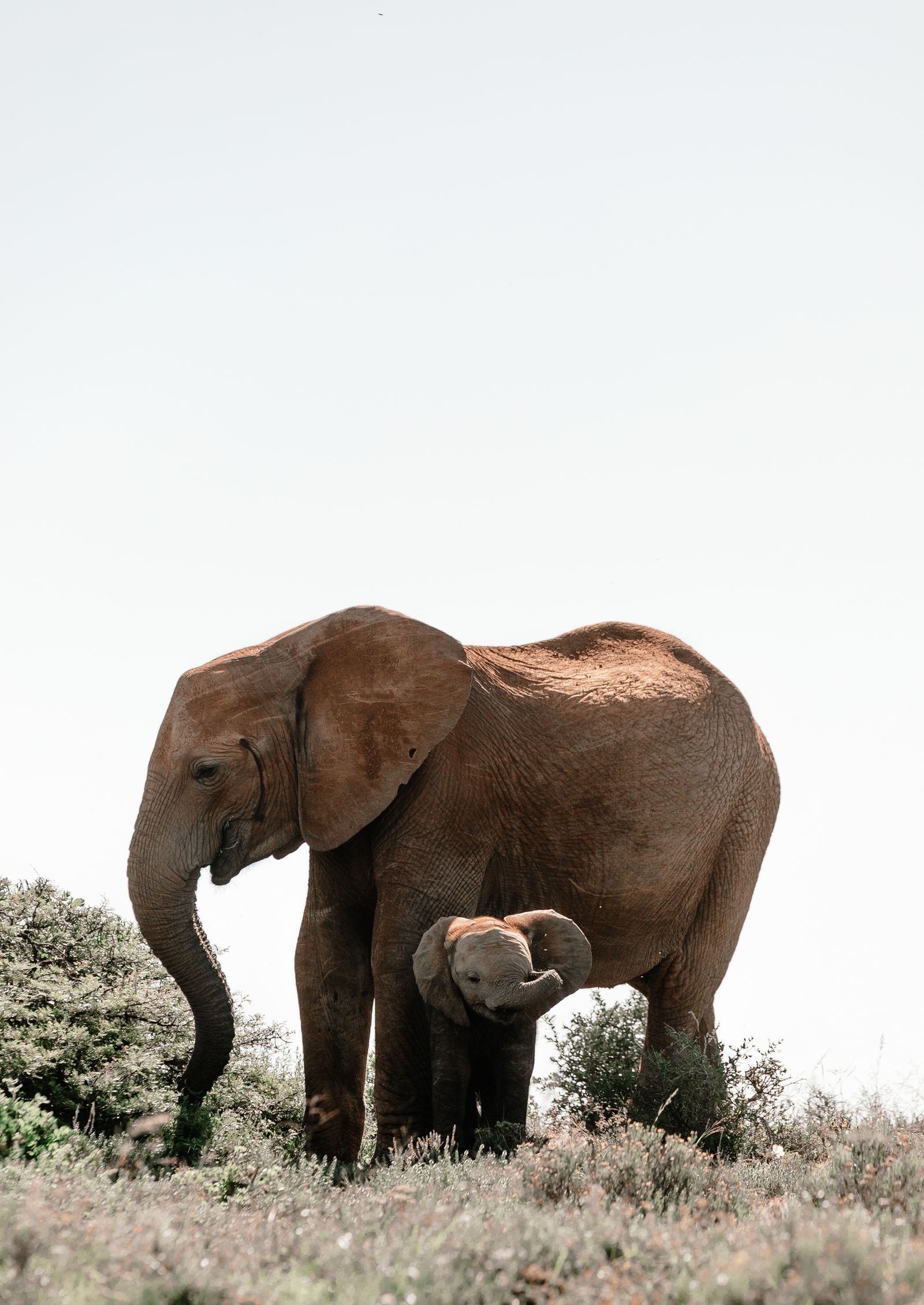
Mole National Park
West Gonja, Savannah
Ghana's premier safari-style wildlife park with elephants, antelope, walking safaris, drives, birding, and savannah views.
Learn more →
- Wildlife / River safari
Wechiau Hippo Sanctuary and River Safari
Wa West, Upper West
Black Volta sanctuary with river safaris, hippo habitat, birdlife, and community-based conservation.
Learn more →

Ready to search?
Find a home in the neighbourhoods you like.
Filter by price, beds, advance months, and amenities — save the search to get alerts when new places go live.
Not finding your area?
Help us cover more of Ghana.
We start guides where there's real demand. Tell us which neighbourhood you want covered next and we'll add it to the queue.