
Neighbourhoods
Explore Ghana, block by block.
Honest neighbourhood guides — safety, transit, schools, prices, flood risk. Start with the region that matters to you.
Showing 163–171 of 572
Page 19 of 64
Lemu Ntrubuso
Lemu Ntrubuso, Bono
0 active listings
Lemu Ntrubuso is a residential town in Bono. Habivista GIS layers use seed-time OpenStreetMap and supporting public datasets for nearby facilities, transport stops, green space, and indicative flood exposure.
Open guide →
Mayera
Mayera, Bono
0 active listings
Mayera is a residential town in Bono. Habivista GIS layers use seed-time OpenStreetMap and supporting public datasets for nearby facilities, transport stops, green space, and indicative flood exposure.
Open guide →
Menji
Menji, Bono
0 active listings
Menji is a residential town in Bono. Habivista GIS layers use seed-time OpenStreetMap and supporting public datasets for nearby facilities, transport stops, green space, and indicative flood exposure.
Open guide →
Mim
Mim, Bono
0 active listings
Mim is a residential town in Bono. Habivista GIS layers use seed-time OpenStreetMap and supporting public datasets for nearby facilities, transport stops, green space, and indicative flood exposure.
Open guide →
New Brosankro
New Brosankro, Bono
0 active listings
New Brosankro is a residential town in Bono. Habivista GIS layers use seed-time OpenStreetMap and supporting public datasets for nearby facilities, transport stops, green space, and indicative flood exposure.
Open guide →
Nkaseim
Nkaseim, Bono
0 active listings
Nkaseim is a residential town in Bono. Habivista GIS layers use seed-time OpenStreetMap and supporting public datasets for nearby facilities, transport stops, green space, and indicative flood exposure.
Open guide →
Nkrankwanta
Nkrankwanta, Bono
0 active listings
Nkrankwanta is a residential town in Bono. Habivista GIS layers use seed-time OpenStreetMap and supporting public datasets for nearby facilities, transport stops, green space, and indicative flood exposure.
Open guide →
Nsawkaw
Nsawkaw, Bono
0 active listings
Nsawkaw is a residential town in Bono. Habivista GIS layers use seed-time OpenStreetMap and supporting public datasets for nearby facilities, transport stops, green space, and indicative flood exposure.
Open guide →
Nsoatre
Nsoatre, Bono
0 active listings
Nsoatre is a residential town in Bono. Habivista GIS layers use seed-time OpenStreetMap and supporting public datasets for nearby facilities, transport stops, green space, and indicative flood exposure.
Open guide →
Beyond home
Places worth visiting
From Cape Coast Castle to Mole National Park — the places diaspora visitors and new arrivals want to see.
115 sites · page 4 of 39
- Beach / Water sports
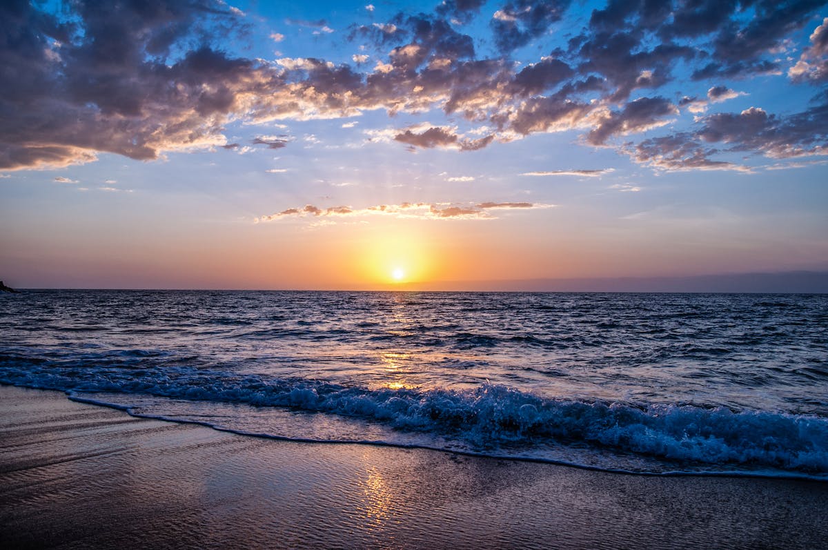
Ada Foah
Ada East, Greater Accra
Estuary and beach destination between the Volta River and Atlantic Ocean, with islands, kayaking, sailing, turtle sites, and sunsets.
Learn more →
- Coast / Landmark
Cape Three Point
Ahanta West, Western
Southernmost point of Ghana, visited for lighthouse views, coastal scenery, and rural travel through plantations.
Learn more →
- Coast / Landmark
Keta Cape St. Paul Lighthouse
Keta, Volta
Historic lighthouse at Woe near Keta, providing coastal views and a strong sense of the lagoon-sea landscape.
Learn more →

Ready to search?
Find a home in the neighbourhoods you like.
Filter by price, beds, advance months, and amenities — save the search to get alerts when new places go live.
Not finding your area?
Help us cover more of Ghana.
We start guides where there's real demand. Tell us which neighbourhood you want covered next and we'll add it to the queue.