
Neighbourhoods
Explore Ghana, block by block.
Honest neighbourhood guides — safety, transit, schools, prices, flood risk. Start with the region that matters to you.
Showing 559–567 of 573
Page 63 of 64
Nsowaakrom
Nsowaakrom, Western
0 active listings
Nsowaakrom is a residential town in Western. Habivista GIS layers use seed-time OpenStreetMap and supporting public datasets for nearby facilities, transport stops, green space, and indicative flood exposure.
Open guide →
Nsuaem
Nsuaem, Western
0 active listings
Nsuaem is a residential town in Western. Habivista GIS layers use seed-time OpenStreetMap and supporting public datasets for nearby facilities, transport stops, green space, and indicative flood exposure.
Open guide →
Omanpe
Omanpe, Western
0 active listings
Omanpe is a residential town in Western. Habivista GIS layers use seed-time OpenStreetMap and supporting public datasets for nearby facilities, transport stops, green space, and indicative flood exposure.
Open guide →
Sefwi Akontombra
Sefwi Akontombra, Western
0 active listings
Sefwi Akontombra is a residential town in Western. Habivista GIS layers use seed-time OpenStreetMap and supporting public datasets for nearby facilities, transport stops, green space, and indicative flood exposure.
Open guide →
Sefwi Dwenasi
Sefwi Dwenasi, Western
0 active listings
Sefwi Dwenasi is a residential town in Western. Habivista GIS layers use seed-time OpenStreetMap and supporting public datasets for nearby facilities, transport stops, green space, and indicative flood exposure.
Open guide →
Sekondi
Sekondi, Western
0 active listings
Sekondi is a residential town in Western. Habivista GIS layers use seed-time OpenStreetMap and supporting public datasets for nearby facilities, transport stops, green space, and indicative flood exposure.
Open guide →
Sekondi-Takoradi
Sekondi-Takoradi, Western
1 active listing
Ghana's oil capital and twin-city port. Industrial, residential, and beach-front living in one metro.
Open guide →
Shama
Shama, Western
0 active listings
Shama is a residential town in Western. Habivista GIS layers use seed-time OpenStreetMap and supporting public datasets for nearby facilities, transport stops, green space, and indicative flood exposure.
Open guide →
Takoradi
Takoradi, Western
0 active listings
Takoradi is a residential town in Western. Habivista GIS layers use seed-time OpenStreetMap and supporting public datasets for nearby facilities, transport stops, green space, and indicative flood exposure.
Open guide →
Beyond home
Places worth visiting
From Cape Coast Castle to Mole National Park — the places diaspora visitors and new arrivals want to see.
19 sites · page 6 of 7
- religious
Larabanga Mosque
Larabanga, Savannah
Iconic 15th-century Sudanese-style mud-and-stick mosque — one of the oldest surviving mosques in West Africa.
Learn more →
- wildlife
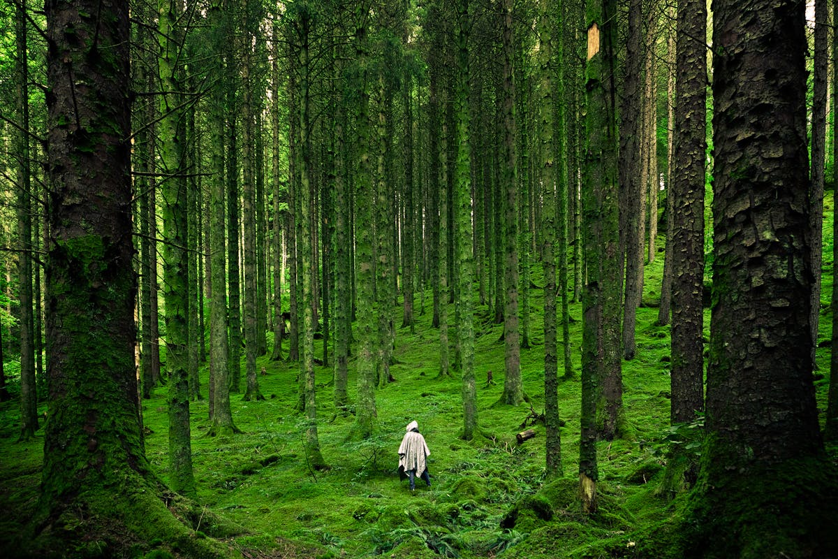
Ankasa Conservation Area
Elubo, Western
Ghana's biodiversity hotspot — forest elephants, Diana monkeys, and the country's last stands of pristine wet-evergreen forest.
Learn more →
- wildlife
Kakum Canopy Walk
Cape Coast, Central
A 350m series of suspension bridges strung 40m above pristine rainforest. Early-morning birding tours available.
Learn more →


Ready to search?
Find a home in the neighbourhoods you like.
Filter by price, beds, advance months, and amenities — save the search to get alerts when new places go live.
Not finding your area?
Help us cover more of Ghana.
We start guides where there's real demand. Tell us which neighbourhood you want covered next and we'll add it to the queue.