Ho
Ho, Volta
Regional capital at the foot of the Adaklu range. Cool highland air and a compact university town.
1
Active listings
1
For rent
0
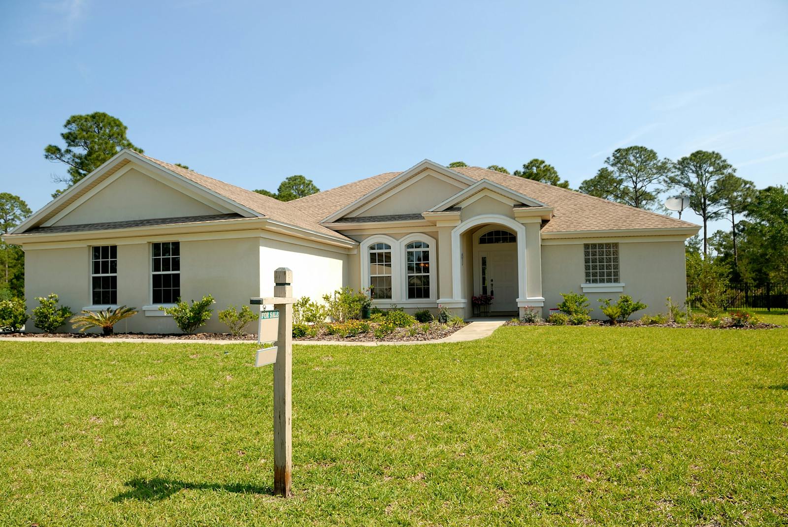
For sale
Map & GIS layers
Toggle what matters to you
Flooding risk, walkability, transit, schools, and more — each scored 1–5 with sources you can audit.
Map insights
Toggle mapped overlays. Disabled rows mean the score exists, but no drawable features are mapped yet.
Lifestyle
Risks & utilities
- Mixed
Noise level
Road, nightlife, and industrial noise exposure
Score3.0 / 5Market activity mid-day; evenings noticeably quiet.
Sources: Habivista neighbourhood guide - Limited
Markets
Day markets, supermarkets, farmers' markets
Score2.0 / 52 mapped markets features inside the mapped neighbourhood boundary. Score uses weighted mapped count and nearest-feature distance. Distances are straight-line from the town centre.
Score model
- Mapped feature count60% · 2 features
- Nearest mapped feature40% · 0.5 km
As of May 2026Sources: OpenStreetMap - Excellent
Schools
International, private, and public school density
Score5.0 / 512 mapped schools features inside the mapped neighbourhood boundary. Score uses weighted mapped count and nearest-feature distance. Distances are straight-line from the town centre.
Score model
- Mapped feature count60% · 12 features
- Nearest mapped feature40% · 0.3 km
As of May 2026Sources: Habivista neighbourhood guide, OpenStreetMap - Excellent
Transit
Trotros, taxis, and commuter routes
Score1.0 / 50 mapped bus stops within 1.2 km of the town centre. Transit summary still reflects broader trotro, taxi, and commuter-route access; the map score uses weighted bus-stop count and nearest-stop distance.
Score model
- Mapped feature count65% · 0 features
- Nearest mapped feature35% · 1.2 km
As of May 2026Sources: Habivista neighbourhood guide, OpenStreetMap - Low indicative risk
Flood risk
Rainy-season waterlogging and catchment zones
Score5.0 / 5Indicative, non-authoritative exposure layer from 0 mapped waterways/water features within 0.9 km of the town centre. Score uses weighted local water-feature density, nearest water-feature distance, and low-weight EONET support. Confirm individual properties during inspection.
Score model
- Mapped waterways and water features45% · 0 features
- Nearest mapped water feature40% · 0.9 km
- NASA EONET regional support15% · 0 events
As of May 2026Sources: OpenStreetMap, NASA EONET, Habivista neighbourhood guide - Mixed
Green space
Parks, tree cover, and open green areas
Score3.0 / 52 mapped green space features inside the mapped neighbourhood boundary. Score uses weighted mapped count and nearest-feature distance, plus approximate mapped green area. Distances are straight-line from the town centre.
Score model
- Mapped feature count35% · 2 features
- Nearest mapped feature40% · 0.4 km
- Mapped green area25% · 4 ha
As of May 2026Sources: OpenStreetMap - Good
Healthcare
Hospitals, clinics, pharmacies
Score4.0 / 56 mapped healthcare features inside the mapped neighbourhood boundary. Score uses weighted mapped count and nearest-feature distance. Distances are straight-line from the town centre.
Score model
- Mapped feature count60% · 6 features
- Nearest mapped feature40% · 0.6 km
As of May 2026Sources: OpenStreetMap - Mixed
Walkability
How many daily trips you can do on foot
Score3.0 / 5Derived from transit score 3/5. Ho main lorry park serves Accra, Hohoe and Aflao. Trotros to the university and Adaklu villages run from the Bankoe stop.
Sources: Habivista neighbourhood guide - Excellent
Amenities
Shops, clinics, banks, and essentials within 10 min
Score5.0 / 55 named amenities within walking/short-drive range.
Sources: Habivista neighbourhood guide - Mixed
Power reliability
Grid uptime and outage frequency
Score3.0 / 5Fairly reliable; occasional outages during the rainy season.
Sources: Habivista neighbourhood guide
On the ground
Essentials
Safety context
●●●●●Calm regional capital at the foot of the Adaklu range. Low reported incident rate.
Schools nearby
Named institutions with walking / driving distance.
- University of Health and Allied Sciences (UHAS)2.5 km
- Mawuli School1.2 km
- Ho Technical University1.6 km
What's nearby
Specific places people actually use.
- Ho Central Market (0.5km)
- Ho Teaching Hospital (2km)
- Melcom Ho (0.6km)
- Ecobank Ho (0.4km)
- Chances Hotel (1.2km)
Typical prices in Ho
Market ranges based on current listings and recent transactions. GHS.
1 BR / month
$400 – $650
2 BR / month
$700 – $1,100
3 BR / month
$1,100 – $1,500
Avg. sale
GHS 190,000
Market report
Ho — Q2 2026
vs Q1 2026
Calculated from verified listings published this quarter. Trend arrows compare with the previous quarter.
Rent
Median monthly rent
GHS 2,200/mo
—Average monthly rent
GHS 2,200/mo
—Advance months (median)
Rent Act 1963: max 6 months
6
—Active listings
1
—Avg days on market
0 days
—Data derived from Habivista-verified listings in Ho. Trend arrows are directional — a single quarter isn't a forecast.
Top verified agents in Ho
Actively listing here with identity and agency verification complete.
- ED
Elikem Dzifa
Volta Vista Properties
- In Ho
- 1 listing
- Experience
- 6+ yrs
From the journal
Read more about Ho
Tourism, places to visit, local food, neighbourhood context, and moving-in experience.

Tourism
Mount Afadjato and Liati Wote: Ghana's highland hike
Mount Afadjato is best planned with Liati Wote and nearby falls, not as a rushed summit photo.
10 May 2026
Tourism
Wli Waterfalls: the Hohoe weekend escape
Wli Waterfalls is one of Ghana's strongest nature trips, especially when paired with Hohoe, Liati Wote, or Mount Afadjato.
10 May 2026
Tourism
Aburi Gardens: Accra's cooler hill escape
Aburi is one of the easiest day trips from Accra, with botanical gardens, cooler air, cafés, and nearby hill-country attractions.
10 May 2026