Bantama
Kumasi, Ashanti
Dense, mid-income area next to KNUST. Popular with students and young families.
9
Active listings
1
For rent
8
For sale
Map & GIS layers
Toggle what matters to you
Flooding risk, walkability, transit, schools, and more — each scored 1–5 with sources you can audit.
Map insights
Toggle overlays to see how the area scores on each dimension.
Lifestyle
Risks & utilities
- Take care
Noise level
Road, nightlife, and industrial noise exposure
Score2.0 / 5High street stays loud through the day; student nightlife keeps evenings lively.
Sources: Habivista neighbourhood guide - Mixed
Markets
Day markets, supermarkets, farmers' markets
Score3.0 / 53 mapped markets features inside the mapped neighbourhood boundary. Score uses weighted mapped count and nearest-feature distance. Distances are straight-line from the town centre.
Score model
- Mapped feature count60% · 3 features
- Nearest mapped feature40% · 0.3 km
As of May 2026Sources: OpenStreetMap - Good
Schools
International, private, and public school density
Score4.0 / 57 mapped schools features inside the mapped neighbourhood boundary. Score uses weighted mapped count and nearest-feature distance. Distances are straight-line from the town centre.
Score model
- Mapped feature count60% · 7 features
- Nearest mapped feature40% · 0.5 km
As of May 2026Sources: Habivista neighbourhood guide, OpenStreetMap - Excellent
Transit
Trotros, taxis, and commuter routes
Score1.0 / 50 mapped bus stops within 1.2 km of the town centre. Transit summary still reflects broader trotro, taxi, and commuter-route access; the map score uses weighted bus-stop count and nearest-stop distance.
Score model
- Mapped feature count65% · 0 features
- Nearest mapped feature35% · 1.2 km
As of May 2026Sources: Habivista neighbourhood guide, OpenStreetMap - Moderate indicative risk
Flood risk
Rainy-season waterlogging and catchment zones
Score3.0 / 5Indicative, non-authoritative exposure layer from 6 mapped waterways/water features inside the mapped neighbourhood boundary. Score uses weighted local water-feature density, nearest water-feature distance, and low-weight EONET support. Confirm individual properties during inspection.
Score model
- Mapped waterways and water features45% · 6 features
- Nearest mapped water feature40% · 0.4 km
- NASA EONET regional support15% · 0 events
As of May 2026Sources: OpenStreetMap, NASA EONET, Habivista neighbourhood guide - Sparse
Green space
Parks, tree cover, and open green areas
Score1.0 / 50 mapped green space features within 1.5 km of the town centre. Score uses weighted mapped count and nearest-feature distance, plus approximate mapped green area. Distances are straight-line from the town centre.
Score model
- Mapped feature count35% · 0 features
- Nearest mapped feature40% · 1.5 km
- Mapped green area25% · 0 ha
As of May 2026Sources: OpenStreetMap - Excellent
Healthcare
Hospitals, clinics, pharmacies
Score5.0 / 516 mapped healthcare features inside the mapped neighbourhood boundary. Score uses weighted mapped count and nearest-feature distance. Distances are straight-line from the town centre.
Score model
- Mapped feature count60% · 16 features
- Nearest mapped feature40% · 0.3 km
As of May 2026Sources: OpenStreetMap - Good
Walkability
How many daily trips you can do on foot
Score4.0 / 5Derived from transit score 5/5. Bantama High Street is a major Kumasi trotro corridor. KNUST shuttles run to Tech junction.
Sources: Habivista neighbourhood guide - Excellent
Amenities
Shops, clinics, banks, and essentials within 10 min
Score5.0 / 55 named amenities within walking/short-drive range.
Sources: Habivista neighbourhood guide - Mixed
Power reliability
Grid uptime and outage frequency
Score3.0 / 5Fairly stable; some outages during storm season.
Sources: Habivista neighbourhood guide
On the ground
Essentials
Safety context
●●●●●Dense mid-income area next to KNUST with a large student population. Main roads safe, side streets darker at night.
Schools nearby
Named institutions with walking / driving distance.
- KNUST (Kwame Nkrumah University of Science and Technology)2.2 km
- Bantama Senior High School0.8 km
- KNUST Basic School2 km
What's nearby
Specific places people actually use.
- Bantama Market (0.4km)
- Kumasi Children's Hospital (0.9km)
- Bantama Melcom (0.5km)
- Republic Bank Bantama (0.6km)
- Bantama fast-food strip (0.3km)
Distance to landmarks
Straight-line distance from the centre of Bantama. Drive times will differ with traffic.
- University of Ghana (Legon)198.0 km
- Accra Mall201.0 km
- Kotoka International Airport202.7 km
- Accra city centre (CBD)203.1 km
- 37 Military Hospital203.2 km
- Labadi Beach207.2 km
Typical prices in Bantama
Market ranges based on current listings and recent transactions. GHS.
1 BR / month
$450 – $700
2 BR / month
$800 – $1,200
3 BR / month
$1,200 – $1,700
Avg. sale
GHS 240,000
Market report
Bantama — Q2 2026
vs Q1 2026
Calculated from verified listings published this quarter. Trend arrows compare with the previous quarter.
Rent
Median monthly rent
GHS 1,500/mo
—Average monthly rent
GHS 1,500/mo
—Advance months (median)
Rent Act 1963: max 6 months
3
—Active listings
1
—Avg days on market
0 days
—Sale
Median sale price
GHS 620,000
—Average sale price
GHS 633,750
—Active listings
8
—Avg days on market
11 days
—Data derived from Habivista-verified listings in Bantama. Trend arrows are directional — a single quarter isn't a forecast.
Top verified agents in Bantama
Actively listing here with identity and agency verification complete.
- YB
Yaw Bonsu
Coastline Properties
- In Bantama
- 1 listing
- Experience
- 14+ yrs
- NO
Nana Ofori-Atta
Hillside Realty
- In Bantama
- 2 listings
- Experience
- 12+ yrs
- KA
Kwesi Appiah
Kwesi Appiah — Independent
- In Bantama
- 1 listing
- Experience
- 12+ yrs
Compare nearby neighbourhoods
Shortlist a few options before committing to one area.
From the journal
Read more about Bantama
Deeper context on the neighbourhood, market, and moving-in experience.

Buying in Ghana
How to buy land in Ghana safely: a 10-step checklist
Land is the most contested asset class in Ghana. These ten steps, sequenced the way we actually run them in Accra, are the ones that keep buyers out of court.
10 May 2026

Safety and trust
Rental scams to spot before you pay
Every scam we have seen on Habivista fits into one of seven patterns. Knowing the pattern is ninety per cent of the defence.
9 May 2026

Diaspora buyers
Buying property from the diaspora: what actually works
Most diaspora property stories come with a cousin and a scar. Here is the operating playbook we use to close remote purchases with a straight face.
8 May 2026
Recent listings in Bantama
Browse all →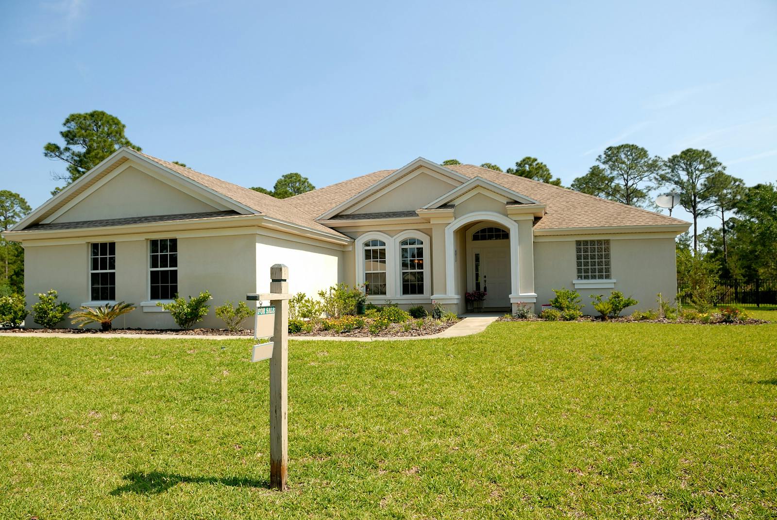
Bantama
Furnished Studio — KNUST Belt, Bantama
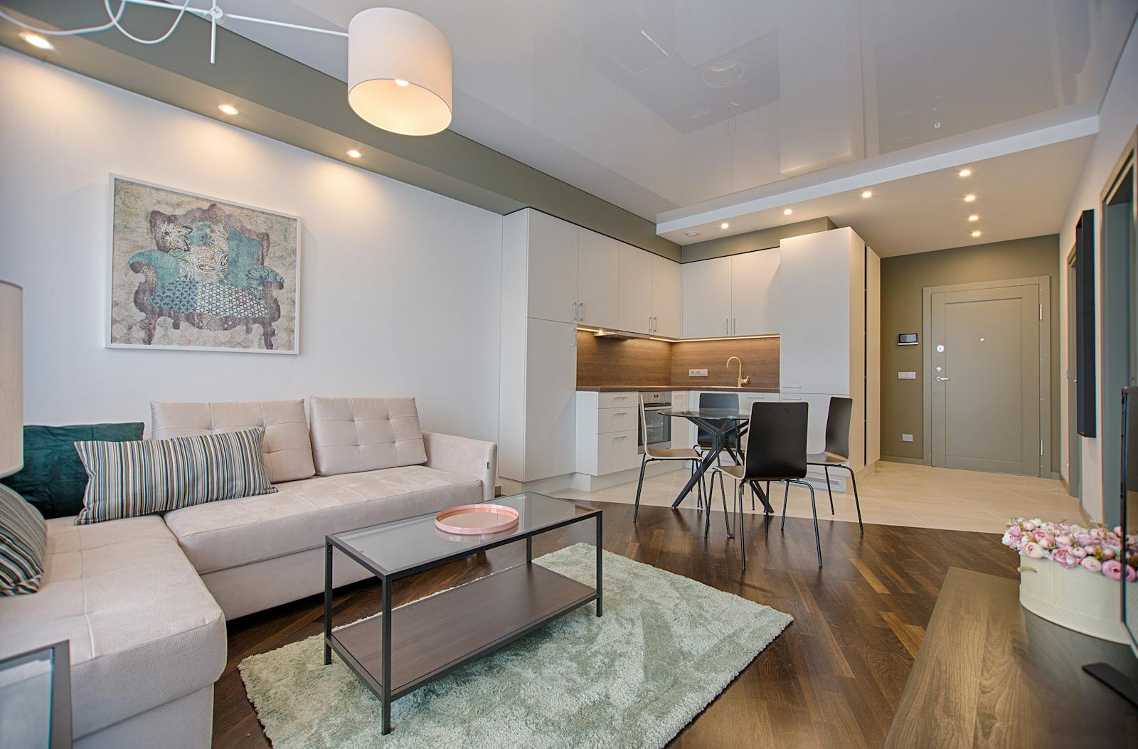
Bantama
STAGING_TEST_Luxury Villa with Pool Access - Bantama
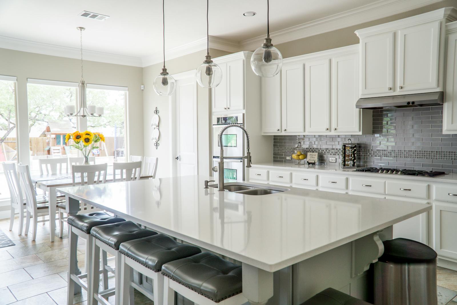
Bantama
STAGING_TEST_Luxury Villa with Pool Access - Bantama
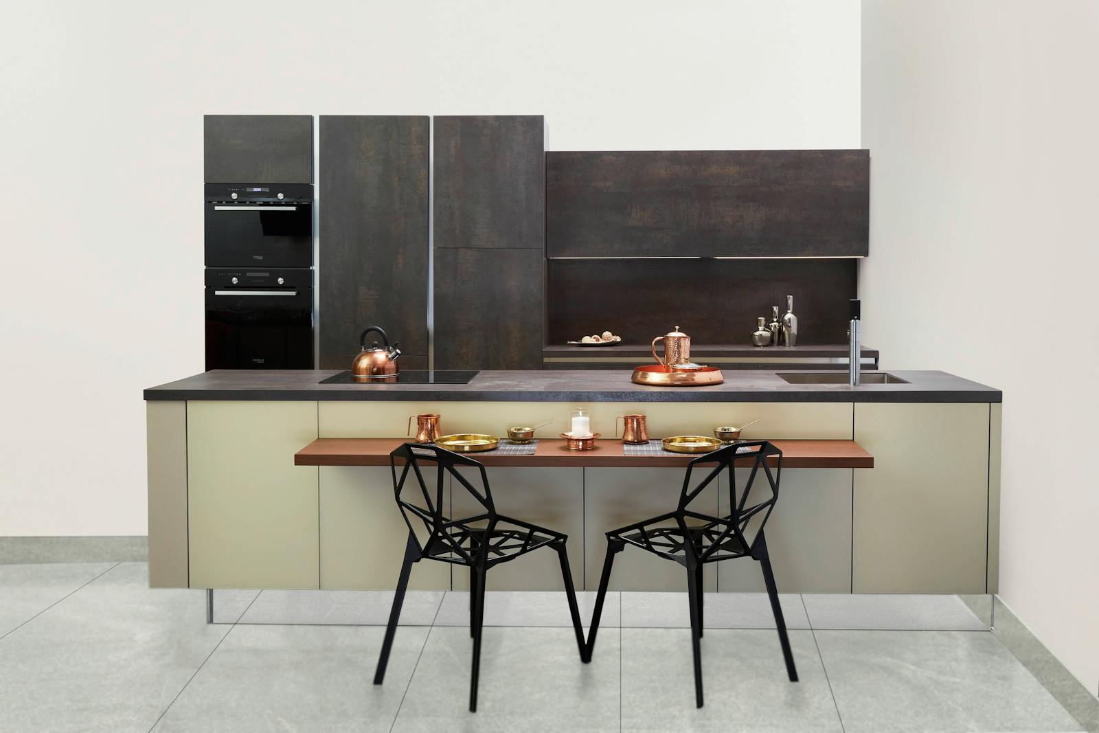
Bantama
STAGING_TEST_Luxury Villa with Pool Access - Bantama
Bantama
STAGING_TEST_Luxury Villa with Pool Access - Bantama
Bantama
STAGING_TEST_Luxury Villa with Pool Access - Bantama
Bantama
STAGING_TEST_Luxury Villa with Pool Access - Bantama
Bantama
STAGING_TEST_Luxury Villa with Pool Access - Bantama
Bantama